Deltalandschaften
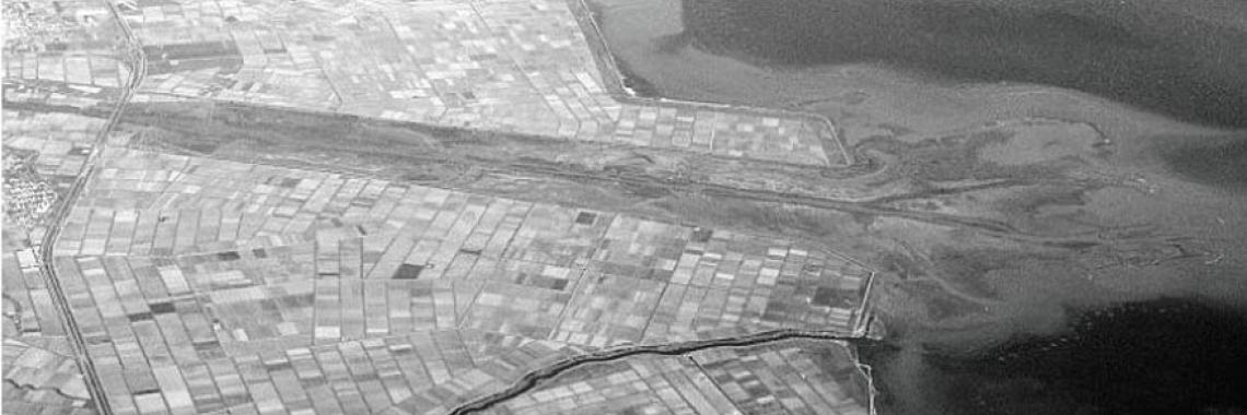
(1) "Die Deltas Südeuropas sind intensive Anbauflächen und insofern vergleichbar mit den Poldern Nordwest-Europas.” (...) Sie sind offene Landschaften mit ländlicher oder städtischer Entwicklung. Es ist ein junger Landschaftstyp. “Das Layout des Landes ist daher ziemlich regelmäßig. Muster von rechteckigen Feldern wechseln sich in Form und Ausrichtung ab." Bsp .: Les Landes und Languedoc-Roussillon (FR), Po-Tal (IT Emilia Romagna, Lombardia), Ebro-Tal (ES), PT (Tejo, Douro).
(2) Fächerförmige alluviale Ablagerung von Sedimenten an der Mündung eines Flusses.
Quelle: (1) MEEUS et al. (1990), S. 313. (2) EVERT (2004), S. 148.
Database entries forDeltalandschaften
The entries are still in process, the e-atlas is still under development
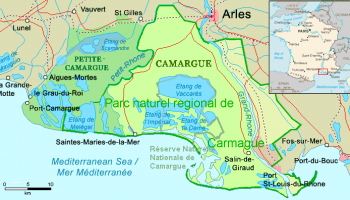
The Delta du Rhône was formed 10.000 years ago by the penetration and decline of the sea and the edification of sandy spits.
Since Antiquity the area is used agriculturally and large agricultural domains appear. The construction of dams start in the Middle Age while forestry… [Read more]


